How Drone Surveys Are Revolutionising the Surveying Industry

Surveying has been around for centuries, but let’s be honest—it hasn’t always been the quickest or easiest job. Hiking across uneven terrain, setting up bulky equipment, and spending hours (or days) gathering data? It’s a grind. But here’s the thing: drones have completely shaken up the game.
Table of Contents
What Makes Drone Surveys So Revolutionary?
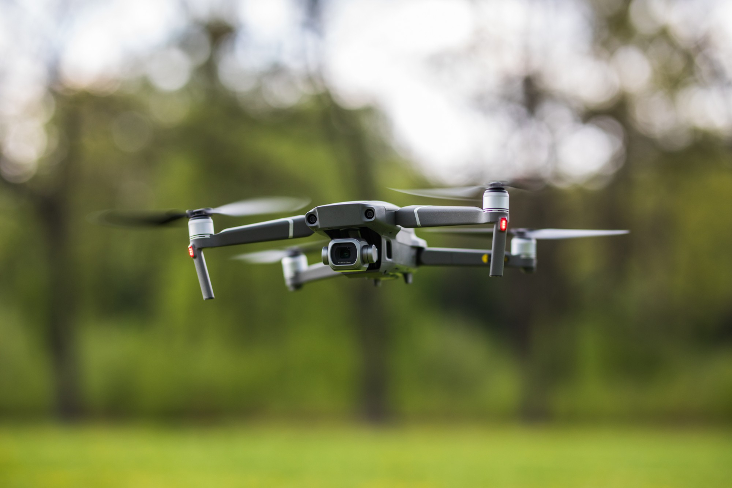
Drones are like the ultimate multi-taskers. They fly over sites, snap high-resolution images, scan landscapes with precision, and gather loads of data—all in record time. Whether it’s a construction site, farmland, or even a tricky spot no one wants to climb to, drones have it covered.
And here’s the kicker: how drones are transforming surveying goes way beyond convenience. They’re not just a shiny new tool; they’re redefining what’s possible in the industry. From super-detailed maps to 3D models, drones deliver results that are not only faster but also far more accurate.
Why Drones Are a Surveyor’s Best Friend
1. They Save Loads of Time
Time is money, right? Drones can survey huge areas in hours, not days. Imagine sending a team out with traditional equipment—it takes forever to set up, measure, and move to the next spot. Drones zip through the sky, capturing everything you need in one go.
2. No More Risky Business
Let’s face it: some survey sites are just plain dangerous. Steep hills, rocky terrain, or busy construction zones aren’t exactly ideal places to lug around gear. With drones, no one has to put themselves in harm’s way. They fly in, do the job, and leave everyone safe on the ground.
3. You Get Bang for Your Buck
Traditional surveys often require big teams, heavy equipment, and plenty of hours on the clock. Drones streamline the process, cutting costs without cutting corners. Smaller businesses especially benefit because they can access high-quality surveys without breaking the bank.
4. The Precision Is Next Level
Drones come loaded with high-tech gadgets like LiDAR scanners and GPS systems, meaning they collect incredibly detailed data. We’re talking centimetre-level accuracy. Need a 3D model or a complex map? No problem—drones have you covered.
5. They Work Anywhere, Anytime
From construction sites to remote landscapes, drones can handle it all. Whether it’s checking the progress of a building project or mapping out a forest, their versatility is unmatched.
How Drones Are Changing the Game Across Industries
Construction
Let’s say you’re managing a construction project. Drones make it ridiculously easy to track progress, inspect areas that are hard to reach, and even measure materials on-site. No more climbing scaffolding or guessing if a site is on schedule—you’ve got the data right in front of you.
Land Development
When it comes to land development, drones are like having an aerial view of your blueprint. They give developers detailed topographic maps, help with site planning, and even identify potential problem areas before they become expensive mistakes.
Environmental Projects
From monitoring wildlife habitats to tracking deforestation, drones are giving environmentalists a major boost. They’re fast, they’re non-invasive, and they can cover massive areas that would take humans weeks to survey.
Emergency Response
In disaster zones, time is critical. Drones can quickly assess damage, locate hazards, and provide crucial information to first responders. They’re a game-changer for rescue efforts and recovery planning.
Overcoming the Bumps in the Road
Of course, drones aren’t perfect. Bad weather, like strong winds or heavy rain, can mess with their performance. And then there’s the legal side—making sure they’re flown within regulations to avoid safety or privacy issues. The good news? Technology is improving every day, and as drones become more advanced, these hurdles are getting smaller.
The Future of Drone Surveys
So, what’s next? Drones are only getting smarter. With AI and machine learning in the mix, they’ll soon be able to analyse data in real time, making decisions on the fly (pun intended). Imagine a drone that doesn’t just collect data but processes it instantly, giving you actionable insights before it even lands.
And accessibility is improving too. Smaller companies and independent surveyors are hopping on board, levelling the playing field across industries.
Why It’s Time to Embrace the Sky
The rise of drone surveys is more than just a trend; it’s a total shift in how we think about surveying. They’re faster, safer, and more precise than traditional methods, and they open up possibilities that weren’t even imaginable a decade ago.
If you’re in the surveying world and haven’t embraced drones yet, what are you waiting for? The sky’s no longer the limit—it’s just the beginning.